Mobile and web management of environmental data
28 March – 22 April 2022 - Teaching Unit #3
Update : 06/09/2021
Objectives
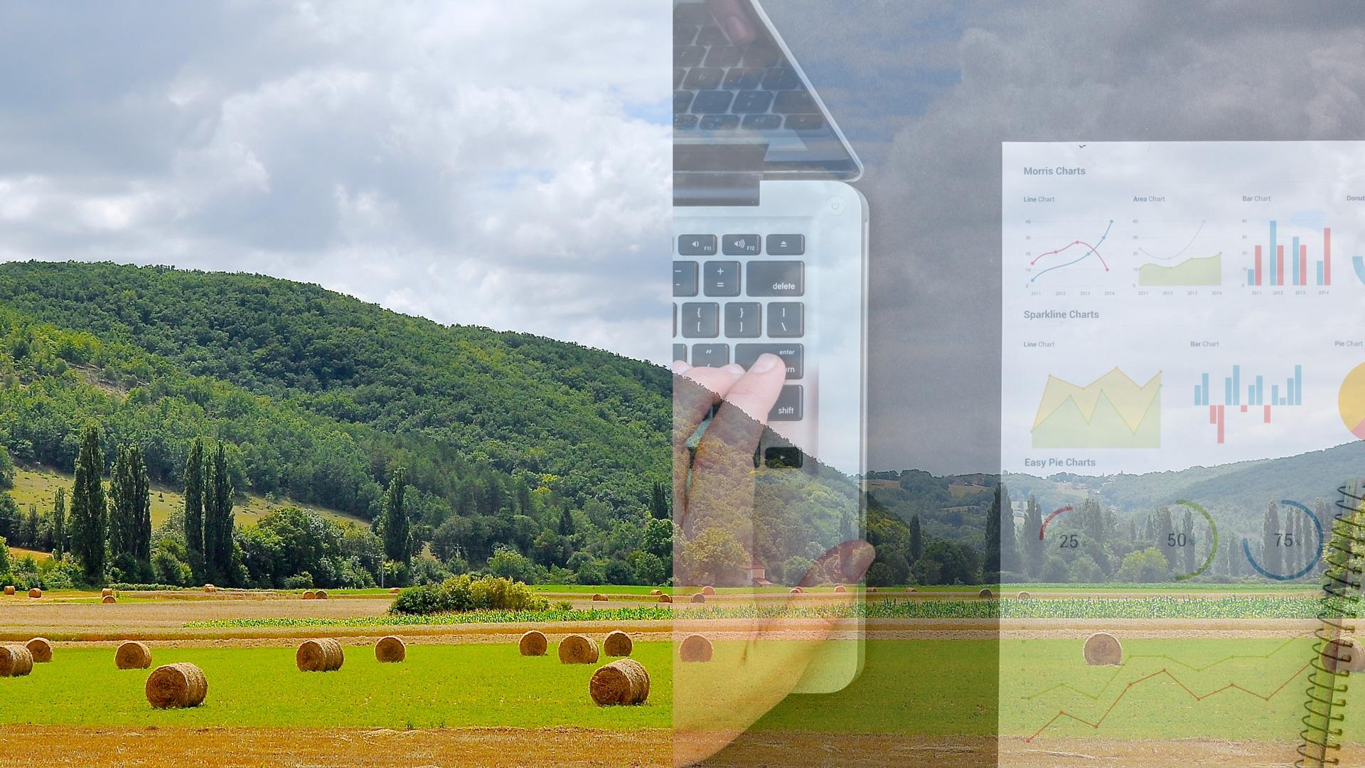
To provide decision support at different level (local, national, regional and international) environmental data and land use information must be available for many different activities and stakeholders. Sharing and dissemination of environmental data is therefore a challenging issue which largely relies on web and mobile technologies. The first goal of this teaching unit is to provide with the student an overview as well as a description of the main technologies available to tackle the issue of dissemination of environmental data. The second goal is to involve the student in a project management aiming at applying these technologies to real environmental project with collecting platforms (crowd-sourcing, sensor networks, and so on) and dissemination of information. Spatial data like maps and remote sensing image will be the core of the project.
- Reference of the course: Data Manager for environmental projects UE3. Level: 400
- Admission
- Europe - 3d year of Bachelor’s degree/ 1st year of Master’s degree
- USA - Bachelor Junior students/ Bachelor senior students - Teaching language: English (B1 level)
- Organization and credits: The course is a full time 4-week-long course. Successful completion of this course brings 7 ECTS credits
- Requirements: Very basic skills in: Web design (basic knowledge of HTML tags and CSS), Programming (any language), GIS
- Grades: Grades are based on evaluation of individual participation to classes and a group project.
-
Course content
This module is mainly based on project-based training with a few lectures-seminars and tutorials.
- First fortnight theme: Designing a mobile web application for on-site collecting data
- Second fortnight theme: Project in precision agriculture
Students are required to: (1) attend all classes, tutorials and discussion, (2) develop self-learning, (3) work on a project and contribute to the restitution seminar.
Disciplinary Content Nb of hours mobile and web applications (HTML, CSS, PHP, JavaScript), web services 30 GIS and spatial data analysis 10 Remote sensing 5 Collective Project management 15 + (40 personal project) -
Books and other reading materials
No books have been ordered for this course. All required readings are available as downloads from the Montpellier SupAgro teaching platform. There is no formal reading packet for this course.
-
Partnership
Research Units: UMR MISTEA (L'institut Agro | Montpellier SupAgro & INRAE) and UMR ITAP (L'institut Agro | Montpellier SupAgro & INRAE)
Contacts
-

Bruno TISSEYRE
Professor, AgroTIC Chair
- Department of Sciences for Agro-Bio-Processes
- UMR Information – Technologies – Environmental Analysis – Agricultural Processes (ITAP)
- l'Institut Agro Montpellier
Email : Bruno.Tisseyre@supagro.fr
Phone : 04 99 61 23 35
Phone : 04 99 61 23 35
2nd phone : 04 99 61 23 34
2nd phone : 04 99 61 23 34
Website :
Chaire AgroTIC


L'Institut Agro Montpellier
2 place Pierre Viala
34060 Montpellier - France
Tél. : +33 (0)4 99 61 22 00 Tél. : +33 (0)4 99 61 22 00
Fax : +33 (0)4 99 61 29 00
contact@supagro.fr
Member of :

Founder of :
Certification: